Updated October 16, 2026 | By Shivam Das
The Bryson Fire near Malibu has triggered evacuation orders and warnings as dangerous Santa Ana winds and a Red Flag Warning raise the risk of fast-moving wildfire conditions across Los Angeles County. CAL FIRE’s incident tracker listed the fire at about 102 acres with 0% containment in its latest available listing; incident figures and evacuation boundaries can change quickly, so residents should use official live maps rather than rely on a static article.
Quick answer: Check your exact address against the current evacuation map, follow any order to leave immediately, and prepare to evacuate if you are in a warning zone. Official incident information said the cause remained under investigation. This report uses the official county and CAL FIRE updates available at publication time.
What is happening with the Bryson Fire?
The fire started on October 15 near Encinal Canyon Road in the hills north of Malibu. Early reports described rapid growth as wind pushed flames through dry brush. CAL FIRE identifies Los Angeles County Fire Department as the agency with jurisdiction and says the cause is under investigation. The published acreage has changed as new reports arrived; any number should be treated as a time-stamped snapshot, not a guarantee of current size.
At the time checked, CAL FIRE’s incidents listing showed the Bryson Fire at approximately 102 acres and 0% containment. Figures may differ from earlier incident updates as mapping and field assessments develop.
Evacuation orders and warning zones
Los Angeles County’s emergency page reported evacuation orders for zones KAN-U017 and SYC-U016-A in its October 15 update. It also listed evacuation warnings for nearby zones, including LEO-U015, SYC-U016-B, WLV-C201, LBO-U018, CRN-U019, MLK-U020, MCR-U021-A, VST-U046, MAL-C113 and MAL-C114. Zone status can change quickly.
An evacuation order means leave immediately. An evacuation warning means a potential threat exists; people who need extra time, have mobility needs, or must move pets or livestock should prepare early and follow local instructions. Confirm your own zone by entering your address in the official map; zone names alone are not enough to establish whether a property is affected.
Open the Los Angeles County emergency page and check evacuation zones on Genasys Protect. If officials issue an order for your zone, do not wait for a social-media post or another news update before leaving.
Why the Red Flag Warning matters
A Red Flag Warning signals weather conditions that can support rapid fire growth, typically involving low humidity, warm temperatures and strong winds. Santa Ana winds can carry embers beyond a fire’s main edge, creating spot fires and making conditions change faster than a perimeter map may show. The warning is not a prediction that every area will burn; it is a signal to take fire behavior and evacuation instructions seriously.
Los Angeles County said the Red Flag Warning covered much of the county beginning October 15, with dangerous wind conditions expected into October 16. Residents should prepare for possible utility shutoffs, smoke, road restrictions and limited visibility. Do not use a photo, video or unofficial map to judge whether a route is safe.
What residents should do now
- Check your address: Use the official evacuation map and county emergency page for the latest order or warning.
- Leave when ordered: Follow instructions from law enforcement and fire officials; do not delay to collect belongings.
- Prepare essentials: Keep medications, identification, chargers, water, pets and important documents ready if it is safe to do so.
- Plan for power loss: Charge phones and keep a battery-powered light available. Do not approach downed power lines.
- Avoid closed roads: Do not drive into smoke, through barricades or toward the fire to take photos.
- Verify updates: Prefer CAL FIRE, Los Angeles County and local fire-agency channels over unverified social posts.

Is the fire contained, and has the cause been confirmed?
The latest official listing available for this report showed 0% containment. That does not mean the entire area is burning; it means officials had not reported a completed containment percentage in that listing. The cause was still under investigation. Do not infer that a home or structure has been damaged simply because it appears near a broad fire perimeter.
Frequently asked questions
Where is the Bryson Fire burning?
Official incident information places it near Encinal Canyon Road in Malibu, Los Angeles County, California.
Which areas have evacuation orders?
The county’s October 15 update listed KAN-U017 and SYC-U016-A under evacuation orders. Because zones can change, check the live official map before making decisions.
How large is the Bryson Fire?
CAL FIRE’s incidents listing showed about 102 acres at the time checked for this report. The size may change as crews update the perimeter.
What does a Red Flag Warning mean?
It means weather conditions may support dangerous fire behavior. Follow local alerts, prepare to leave, and obey any evacuation order.
Where can I get reliable updates?
Use the CAL FIRE Bryson Fire incident page, the Los Angeles County emergency page and Genasys Protect.
Sources and update policy
- CAL FIRE: Bryson Fire incident information
- Los Angeles County emergency updates and evacuation information
- Genasys Protect evacuation-zone map
- National Weather Service Los Angeles/Oxnard
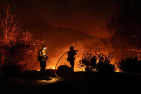
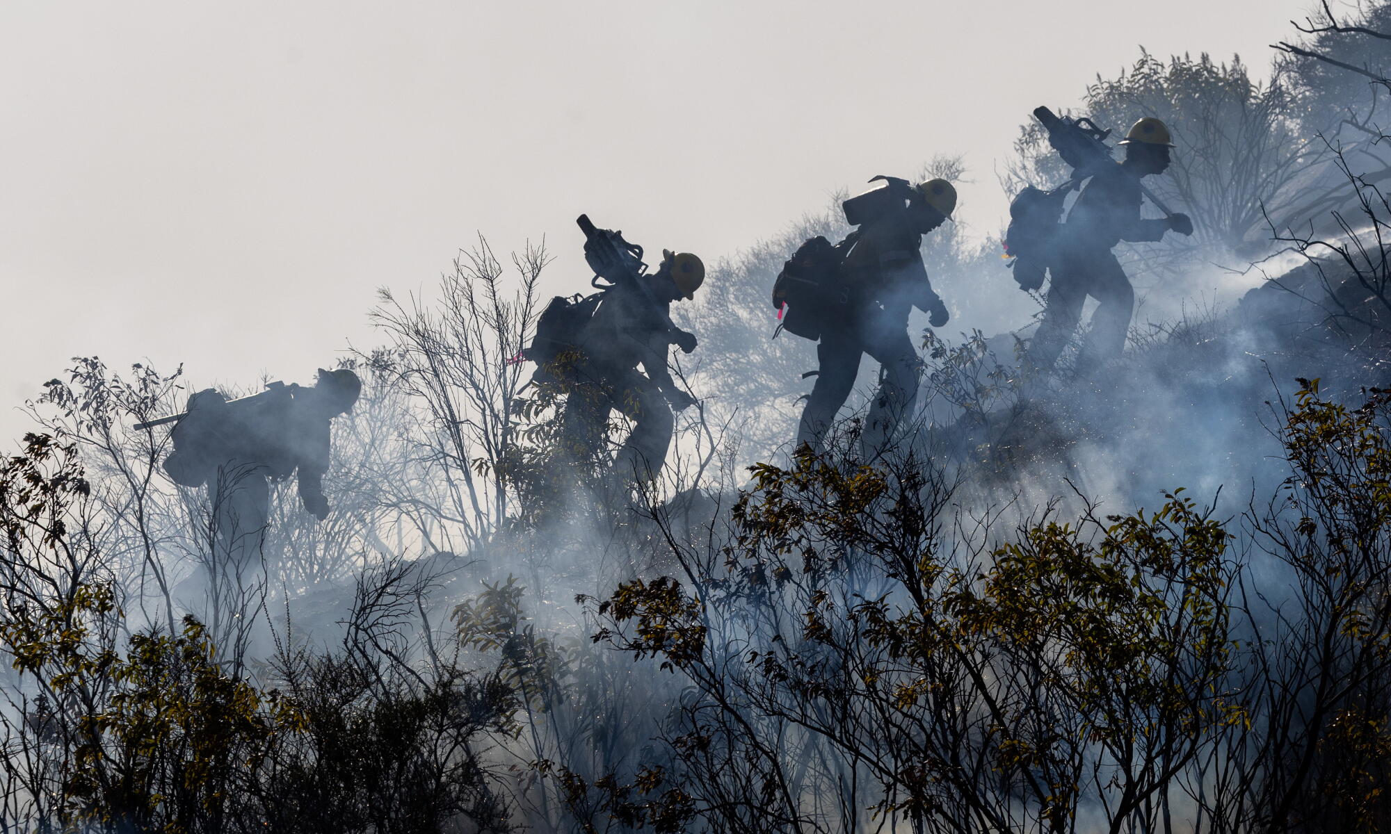
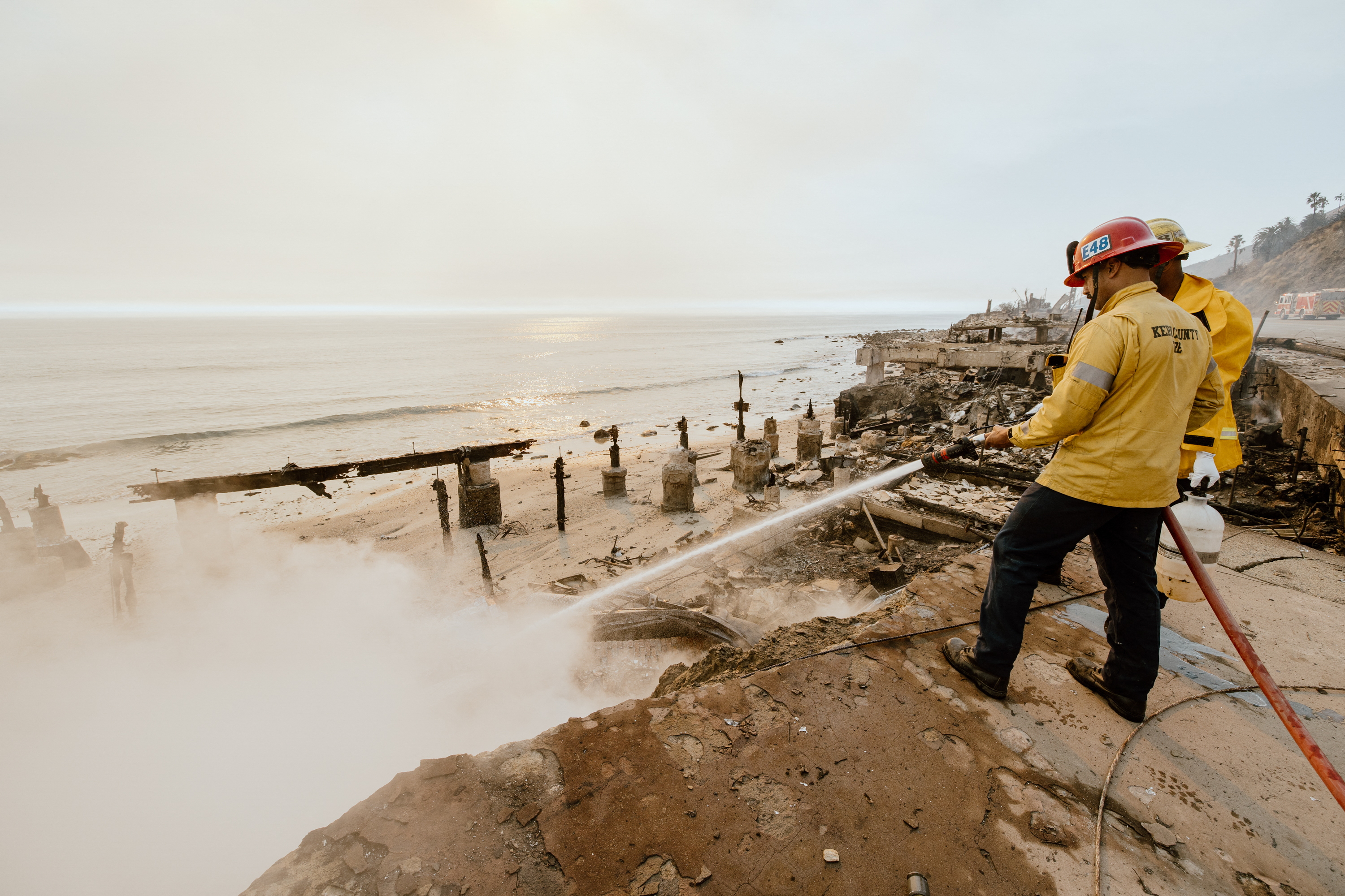
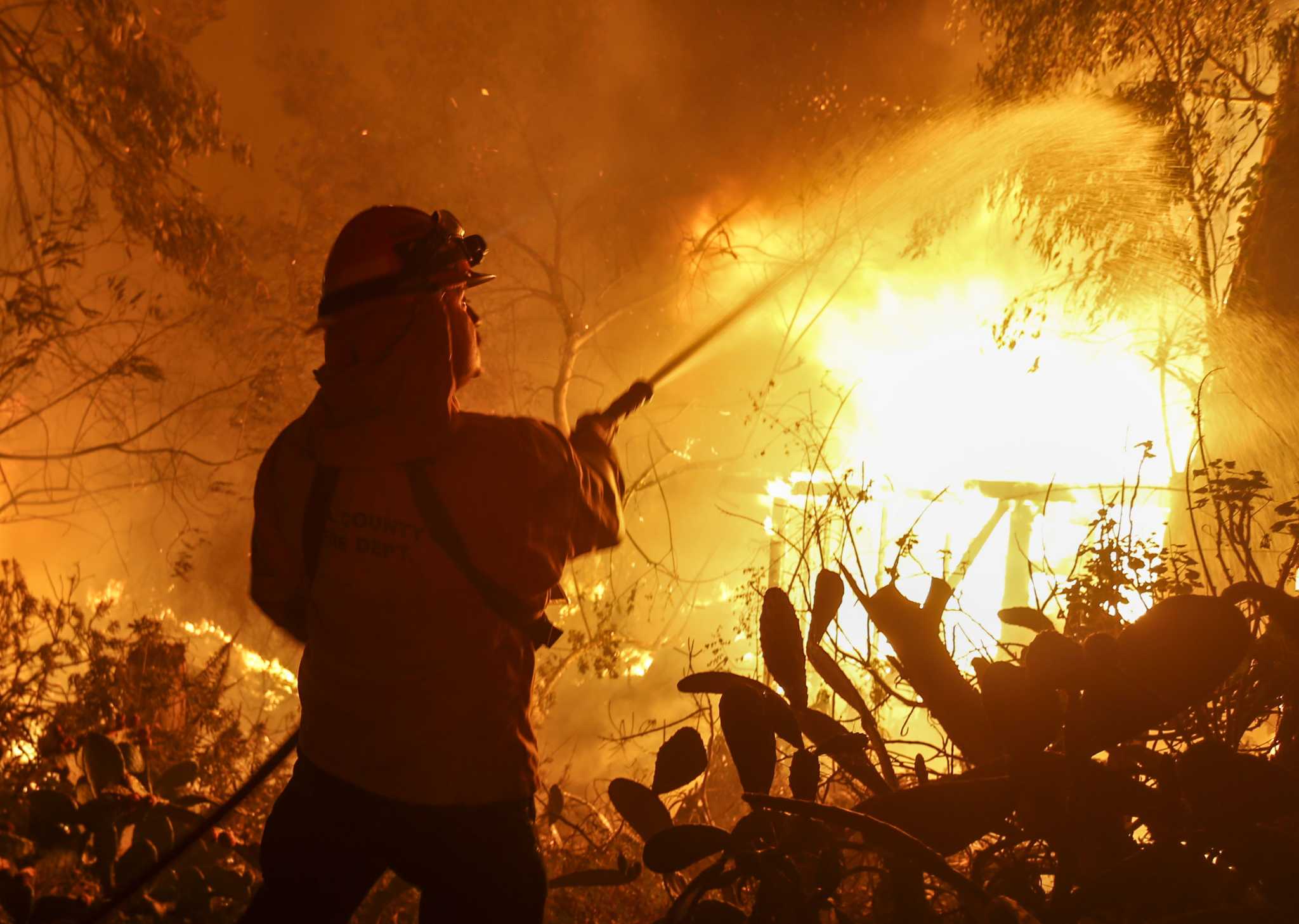
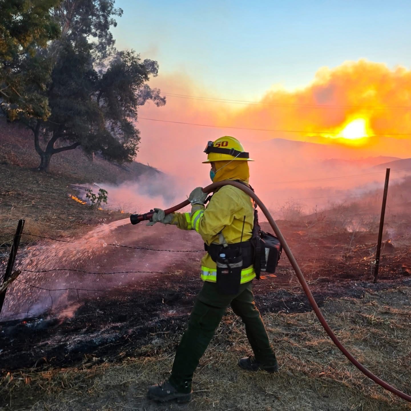
Editorial note: The photographs embedded above are archive images from previous California wildfires; they are not photographs of the 2026 Bryson Fire. Conditions and evacuation information may change rapidly. This report should be updated as official agencies publish new information.