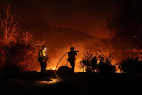
Updated October 16, 2026. The Bryson Fire near Encinal Canyon Road in Malibu escalated quickly on Thursday, October 15, as strong Santa Ana winds pushed flames through dry brush. The latest detailed CAL FIRE incident update available for this report listed the fire at 200 acres with 0% containment at 9:35 p.m. Thursday. Because incident figures can change quickly—and some live pages may lag behind individual updates—residents should rely on current official alerts rather than this article for a real-time evacuation decision.
If you are in an evacuation-order zone, leave immediately. Do not wait for a second warning or stop to collect belongings. Check your exact address on the official Genasys evacuation map and monitor LA County emergency updates.

What residents need to know right now
- Location: Near Encinal Canyon Road in Malibu, in Los Angeles County.
- Latest detailed size report: 200 acres, with 0% containment in CAL FIRE’s 9:35 p.m. October 15 update.
- Evacuation orders: CAL FIRE listed zones KAN-U017 and SYC-U016-A in that update. The zone list can change, so check the live map.
- Evacuation warnings: The same update listed CRN-U019, LBO-U018, LEO-U015, MAL-C113, MAL-C114, MCR-U021-A, MLK-U020, SYC-U016-B, SYC-U016-C, SYC-U016-D, VST-U046 and WLV-C201.
- Cause: Under investigation.
- Wind: Red Flag conditions and strong, gusty winds can carry embers ahead of the main fire and create new spot fires.
These details are drawn from the CAL FIRE incident update and may be superseded by newer orders. An evacuation warning means residents should be ready to leave; an evacuation order means leave now.
Why the fire is dangerous even before flames reach a home
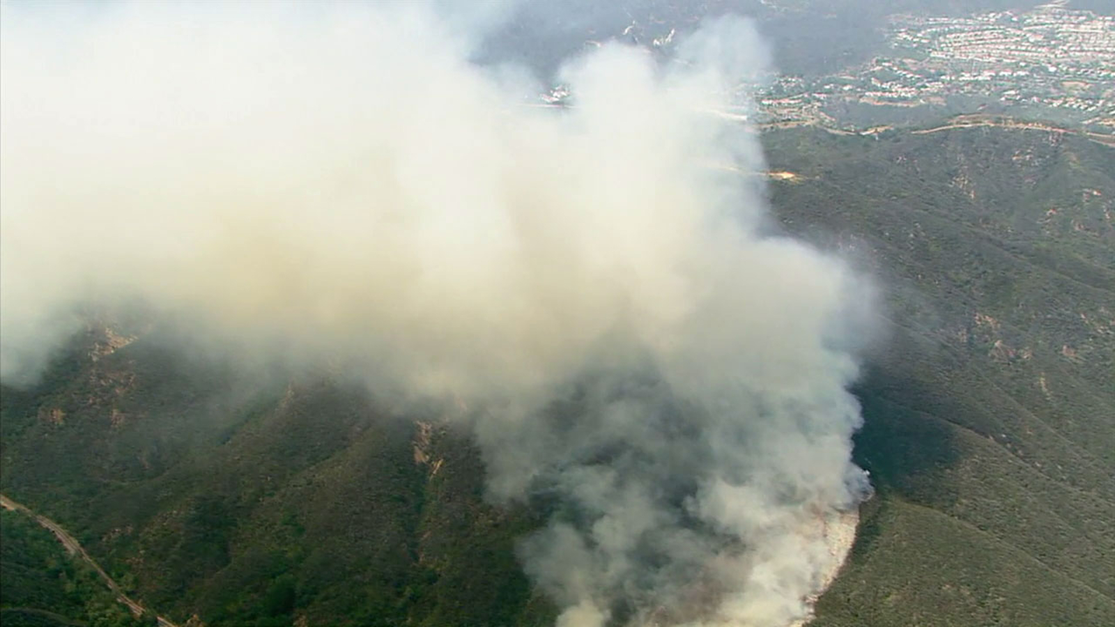
Wildfires in canyon terrain can move unpredictably when wind, low humidity and dry vegetation combine. Embers may cross roads or ridgelines and ignite brush or structures beyond the visible flame front. A road that looks clear from a driveway may become unsafe quickly, and smoke can reduce visibility on narrow canyon routes. Keep evacuation roads open for fire engines and do not drive toward smoke to take photographs.
The risk is not limited to homes. Authorities reported that the Campus Vernon Kilpatrick facility was evacuated, with 38 young people transferred to Barry J. Nidorf Juvenile Hall in Sylmar, according to ABC7’s October 16 live coverage. That is a reminder that emergency plans cover people in facilities as well as nearby neighborhoods.
Evacuation zones: how to check your address
Do not rely on a neighborhood name alone. Boundaries can cut across streets, canyon roads and nearby properties. Enter your exact address into the official Genasys evacuation map, then confirm updates through the Los Angeles County emergency page and the City of Malibu’s alerts.
If an order applies to you, leave immediately using the route recommended by officials. Do not assume your usual canyon road is open. If you are in a warning zone and can leave safely before conditions worsen, consider doing so early—particularly if you need extra time, have children or older adults with you, have mobility needs, or must move animals.

Where to get help, including animal evacuation information
CAL FIRE’s detailed October 15 update listed Agoura High School, 28545 W. Driver Avenue, Agoura Hills, CA 91301, as an evacuation shelter and Agoura Animal Care Center, 29525 Agoura Blvd., Agoura Hills, CA 91301, as an animal evacuation shelter. Confirm that a site remains open and is accepting evacuees before traveling, because shelter arrangements can change as the incident develops.
For people who need more time to evacuate, leaving at the warning stage may be safer than waiting for an order. If you depend on electricity for medical equipment, keep essential medication and devices with you, and make a backup plan in case power or mobile service is interrupted. Never enter a closed area to retrieve property or animals.
Wind and power outages add another layer of risk
The City of Malibu warned residents to prepare for dangerous, windy Red Flag conditions and possible Public Safety Power Shutoffs. Outages can affect traffic signals, home equipment and phone charging. Keep devices charged, carry a battery-powered radio if available, fuel your vehicle, and pack water, medications, identification, essential documents, pet supplies and a flashlight. Treat a dark or non-functioning traffic signal as a stop sign and proceed cautiously.

What is confirmed—and what is not
The fire’s location, rapid growth, evacuation activity and cause-under-investigation status are supported by official incident information and local reporting. The reported acreage has changed across updates, which is normal during a fast-moving incident as mapping improves. Do not treat an older acreage figure as the current perimeter, and do not interpret an empty field on an incident page as proof that no buildings are at risk.
As of the latest detailed official update used here, the cause remained under investigation. This report does not speculate about how the fire started, and no claim about the number of homes damaged or destroyed is made without an official confirmation.
Official links to keep open
- CAL FIRE: Bryson Fire incident page
- Genasys: live evacuation zones
- Los Angeles County: emergency information and alerts
- City of Malibu: local alerts
- National Weather Service Los Angeles/Oxnard
Frequently asked questions
Is the Bryson Fire near Malibu homes?
The fire is burning near Encinal Canyon Road in the Malibu area, and evacuation orders and warnings have been issued for surrounding zones. Check the live evacuation map to determine whether a specific address is affected.
How large is the Bryson Fire?
The latest detailed CAL FIRE update available for this report listed 200 acres and 0% containment at 9:35 p.m. on October 15. Newer figures may be available, so consult the official incident page for the latest status.
Which areas have evacuation orders?
The detailed CAL FIRE update listed KAN-U017 and SYC-U016-A as evacuation-order zones. Zone status can change, so verify your address on the official Genasys map rather than relying on this list alone.
Where can evacuees take animals?
The October 15 CAL FIRE update listed Agoura Animal Care Center as an animal evacuation shelter. Check official updates before traveling to confirm the facility’s current status and instructions.
What should residents do if they receive an evacuation warning?
Prepare to leave immediately, gather medications and essential documents, charge phones, pack pet supplies, and monitor official alerts. People who need extra time to evacuate should consider leaving early when it is safe to do so.
Has the cause of the Bryson Fire been confirmed?
No. The cause was listed as under investigation in the official incident updates used for this report.
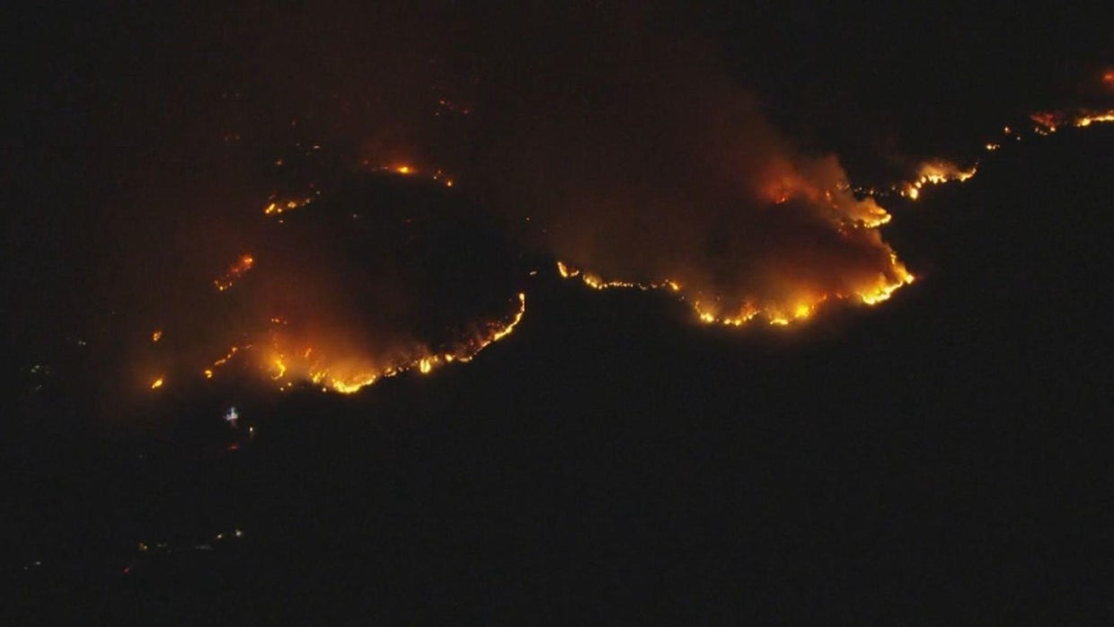
Editorial note: Four images in this article are clearly labeled archival visuals from earlier Malibu-area fires; they are not represented as photographs of the October 2026 Bryson Fire. The article’s evacuation information should be checked against official live alerts before acting.