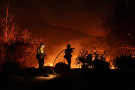
Updated October 16, 2026: The Bryson Fire near Encinal Canyon Road in Malibu prompted evacuation orders and warnings as strong Santa Ana winds raised the danger of rapid fire spread. Officials reported the blaze at about 200 acres and 0% containment in a late Thursday update; conditions and evacuation boundaries can change quickly, so residents should use official live alerts rather than rely on an article timestamp.
Quick answer: Malibu’s overnight wildfire risk remained serious because dry vegetation, low humidity and strong winds can push flames and embers beyond a fire line. As of the latest reports reviewed for this story, the Bryson Fire was active, its cause was under investigation, and evacuation orders applied to designated zones near the fire. Check your exact address and zone before making travel decisions.
What is happening with the Bryson Fire?
The fire began on Thursday, October 15, near Encinal Canyon Road in Malibu. CAL FIRE’s incident page lists Los Angeles County Fire Department as the agency with jurisdiction and says the cause is under investigation. A 9:30 p.m. incident update listed the fire at 200 acres with 0% containment. Earlier updates showed how quickly estimates can change, which is why older acreage figures should not be treated as the current total.
Local reporting described evacuations near the Camp Kilpatrick juvenile detention facility and across parts of the Santa Monica Mountains. No injuries or destroyed structures were listed in the CAL FIRE update reviewed for this article, but that is not a guarantee that conditions remain unchanged. Emergency information can lag behind events during a fast-moving fire.
Why red flag conditions make the fire more dangerous
Red Flag conditions combine weather that can make a new or existing fire harder to control: gusty winds, very low humidity and dry fuels. Strong winds can carry embers ahead of the main fire, starting spot fires that may jump roads or established control lines. Steep canyon terrain can also make access difficult for crews and complicate aircraft operations.
Los Angeles County warned that wind gusts in mountain areas could reach 50 to 70 mph during this event, with elevated fire danger expected to persist into Saturday. That forecast is a regional warning, not a measurement of wind at every Malibu address. Residents should follow local alerts and the National Weather Service for the conditions affecting their own zone.

Evacuation orders and warnings: what residents should do
- Evacuation order: Leave immediately using a safe route. Do not wait to collect nonessential belongings.
- Evacuation warning: Be ready to leave. People who need extra time, households with children, older adults, people with disabilities, and residents with pets should consider leaving early.
- Check your zone: Boundaries can change. Use the official evacuation map and emergency alerts rather than assuming that a nearby street has the same status as yours.
- Plan for outages: Keep phones charged, carry backup batteries, and be prepared for traffic signals or communications to be disrupted.
- Keep roads clear: Avoid driving toward the fire or stopping to film. Open routes help firefighters and evacuation traffic.
Los Angeles County listed Agoura High School as an evacuation shelter in the incident update reviewed for this story. Confirm that a shelter remains open before travelling there, and check official notices for animal shelter information. If you are in immediate danger, leave first and call 911 when safe.
Power shutoffs, road closures and communications
Utilities may shut off power as a preventive measure when wind threatens electrical equipment. Outages can affect internet access, home medical equipment, traffic lights and the ability to receive updates. Charge devices early, keep a battery-powered radio available if possible, and have a written contact plan with family members.
County notices for the October 15 incident listed restrictions on several canyon routes, including roads around Encinal Canyon and Kanan. Closures can change as crews work, so check Caltrans and local law-enforcement updates before travelling. Do not use a route simply because a map application still shows it as open.
Where to get reliable live updates
- CAL FIRE Bryson Fire incident page — incident facts and updates.
- Los Angeles County emergency information — evacuation orders, warnings and county guidance.
- City of Malibu Alert Center — local fire-weather and road notices.
- Genasys Protect evacuation map — check the status for a specific address or zone.
- National Weather Service Los Angeles/Oxnard — official weather warnings and forecasts.
For official social updates, follow @LACoFDPIO and @ReadyLACounty on X. A specific post embed was not added because a verifiable post URL tied directly to the Bryson Fire could not be confirmed during preparation.
Frequently asked questions
Is the Bryson Fire contained?
The latest incident update reviewed for this report, dated October 15 at 9:30 p.m., listed the fire at 200 acres and 0% containment. Check the official incident page for newer figures before acting on this information.
Where is the Bryson Fire burning?
The fire was reported near Encinal Canyon Road in Malibu, in Los Angeles County.
Are evacuation orders in place?
CAL FIRE’s update listed evacuation orders for designated zones, including KAN-U017 and SYC-U016-A, with warnings in additional zones. Boundaries can change; check the live evacuation map for your address.
Why is the fire dangerous overnight?
Strong, dry winds can continue carrying embers after dark, while low humidity and dry brush help fire spread. Visibility can also fall as smoke thickens, making evacuation routes harder to navigate.
Where can I check if my home is under an evacuation order?
Use the Genasys Protect map and official county alerts. If authorities order your area to evacuate, leave promptly and follow directions from emergency personnel.
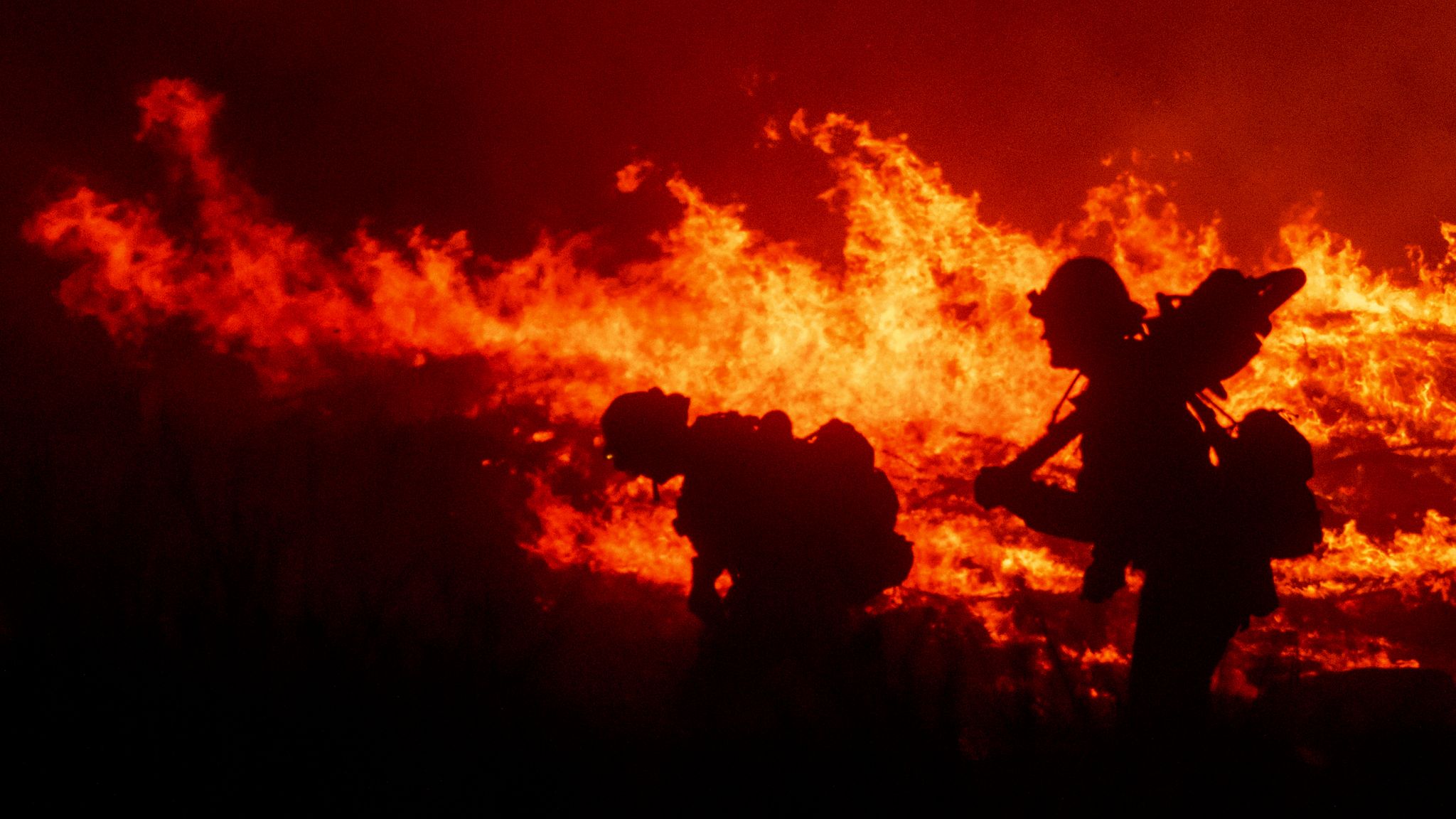
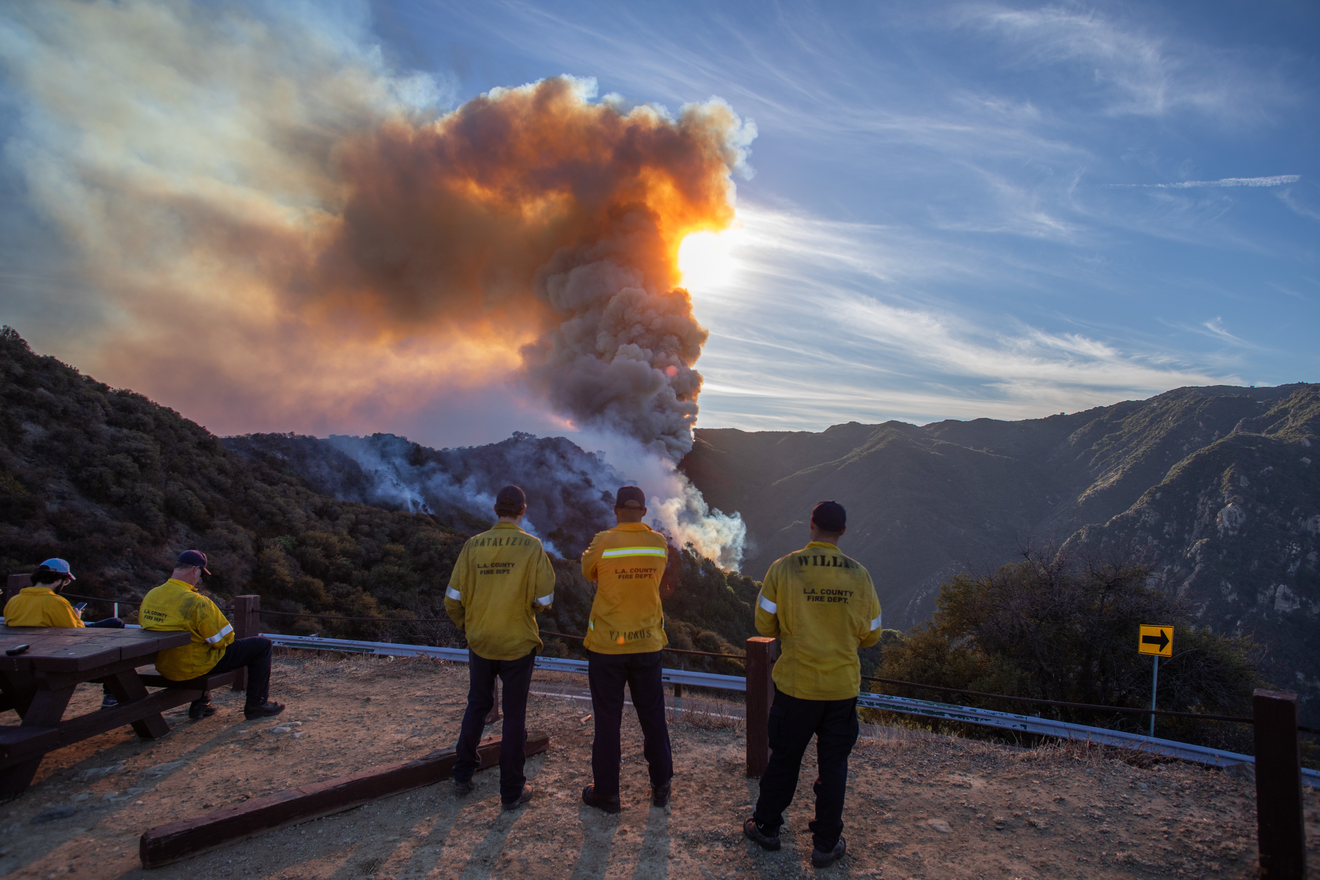
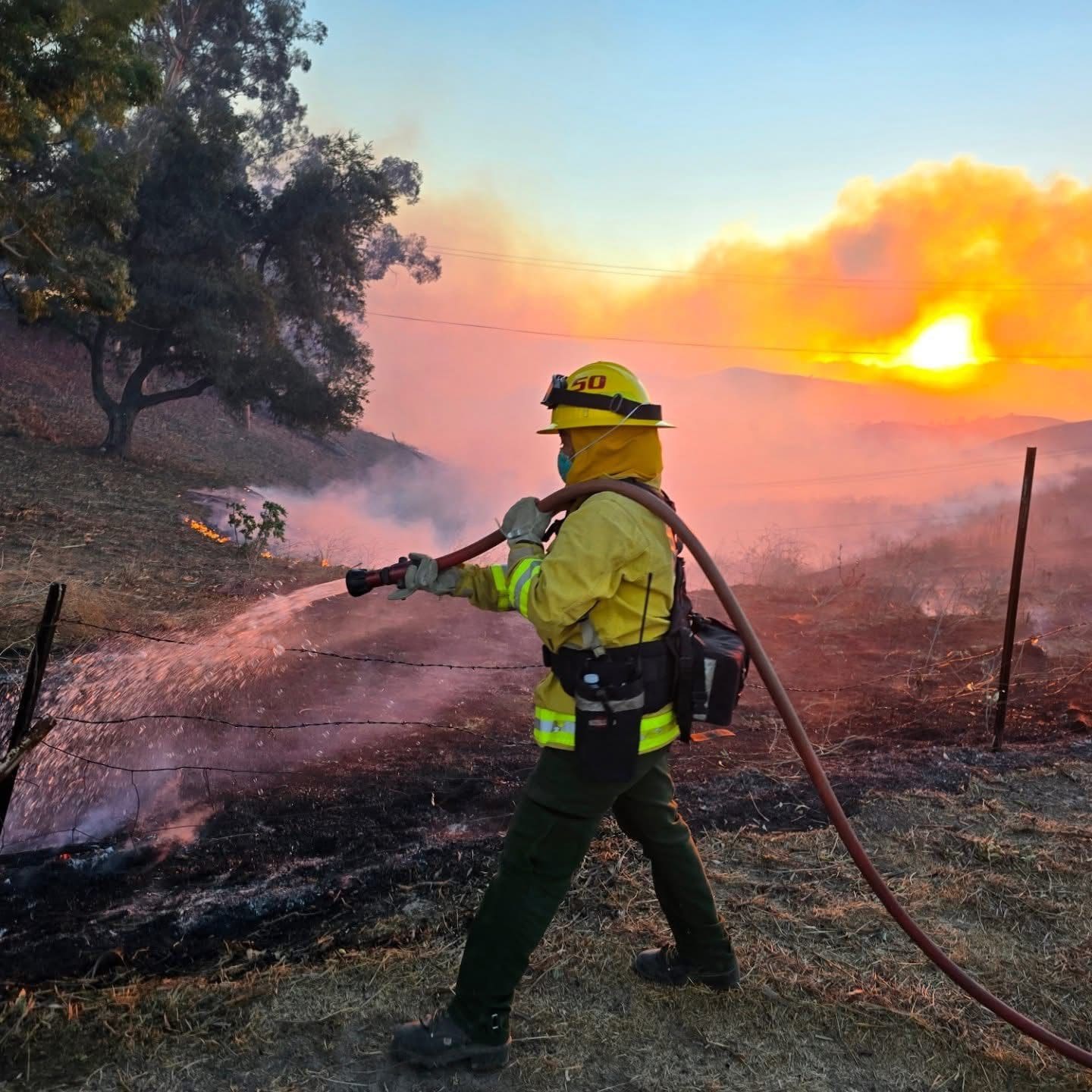
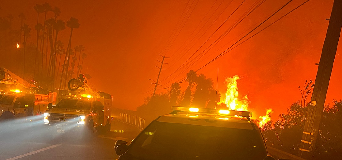
Image note: The photographs in this article are clearly identified archival images from earlier Southern California or Malibu-area wildfires. They are not represented as photographs of the October 2026 Bryson Fire. Current incident photos should be added only when their source and connection to this fire can be verified.
Sources: CAL FIRE; Los Angeles County; LAist; Associated Press.